UAV surveying, also known as drone surveying, has revolutionized the field of land surveying in Christchurch and beyond. Unmanned Aerial Vehicles (UAVs) equipped with specialized cameras and sensors offer significant advantages over traditional surveying methods. In this comprehensive guide, we will explore the benefits, applications, and considerations of surveying through UAV in Christchurch.
1. Understanding UAV Surveying
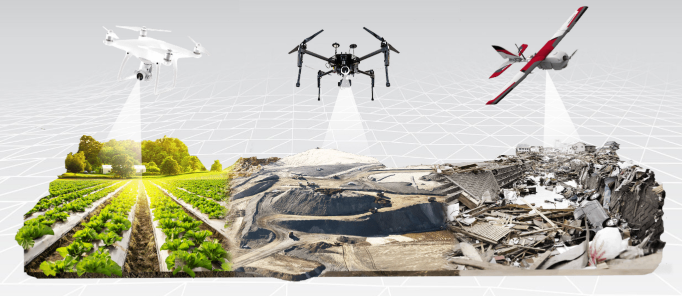
It involves using drones to collect aerial data for mapping, surveying, and inspection purposes. UAVs are equipped with high-resolution cameras, LiDAR (Light Detection and Ranging) sensors, and other advanced technologies that capture precise and detailed data from above. This data is then processed to create accurate topographic maps, 3D models, and orthomosaic images of the surveyed area.
2. Advantages of UAV Surveying
It offers numerous advantages over traditional surveying methods:
- Cost and Time Efficiency: UAVs can cover large areas in a fraction of the time compared to ground-based surveys.
- Accuracy and Precision: They capture highly accurate data, allowing for precise measurements and detailed mapping. The combination of high-resolution imagery and advanced sensors ensures the quality and reliability of the collected data.
- Safety and Accessibility: Drones can navigate challenging terrain, remote locations, and even hazardous environments, keeping surveyors out of harm’s way.
- Flexibility and Adaptability: Drones can capture data from different angles, heights, and viewpoints, enabling a comprehensive understanding of the surveyed area.
3. Applications of UAV Surveying in Christchurch
It has a wide range of applications in Christchurch, including:
- Land Development and Construction: UAVs provide precise topographic data for site planning, earthwork calculations, and design verification during land development and construction projects. You can hire land surveying firm to collect this valuable data for land management and devolpement.
- Infrastructure Inspection: Drones enable efficient inspection and monitoring of bridges, buildings, and other infrastructure. They can identify potential issues, such as cracks, corrosion, or structural damage, without the need for manual inspections.
- Urban Planning and Mapping: UAVs generate high-resolution orthomosaic maps and 3D models that support urban planning, zoning, and visualizations. These tools aid in decision-making and enable stakeholders to visualize the impact of proposed developments.
Conclusion
UAV surveying has emerged as a game-changing technology in the field of land surveying in Christchurch. With its cost and time efficiency, accuracy, safety, and versatility, UAV surveying offers significant benefits for various applications, including land development, infrastructure inspection, environmental monitoring, and urban planning.